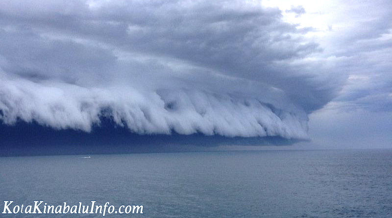
Shelf Cloud off Sabah Coast scares residents
At about 7.30 am this morning, there were weird shelf cloud formations seen in the west coast of Sabah caused scare among some residents and social media users. It was seen about an hour when it was raining heavily. It also looked like big plumes and somehow looked beautiful. That weird clouds made everyone worried about heavy rain and flood. According to Sabah meteorological department director, Azmi Daud, he said that the clouds were actually a squall line of thunderstorms that were moving fast and low within the area and it is fairly normal during a south westerly monsoon season.
Shelf clouds cause mild panic in Sabah
The department also has already issued a thunderstorm warning to the residents in Sabah early this morning. Based on the forecast, the thunderstorm activities occurred over the waters off Sabah’s west coast and interior, Labuan and Miri, Sarawak as early as 7 am and expected to happen until late evening. It also may cause strong winds up to 50 kmph and rough seas with 3.5 metres high waves. Dangerous to the small boats.
The clouds have dissipated by 9am. These shelf cloud lines is often seen during the South Monsoon season along coastal areas that develops offshore during the night before sweeping landward in the morning. It may cause gusty winds and heavy rains which are more intense and extensive than the usual thunderstorms.


Share this entry